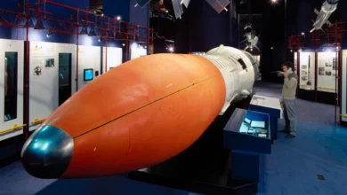
Mars Global Surveyor: The Historic Mission That Revitalized NASA Exploration of the Red Planet

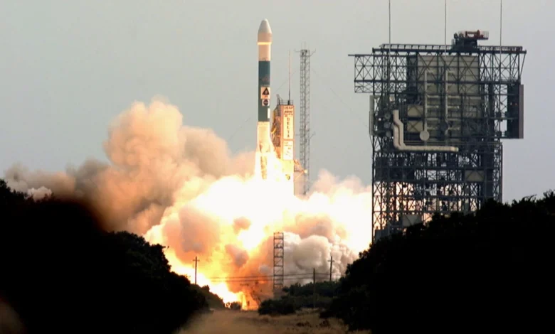
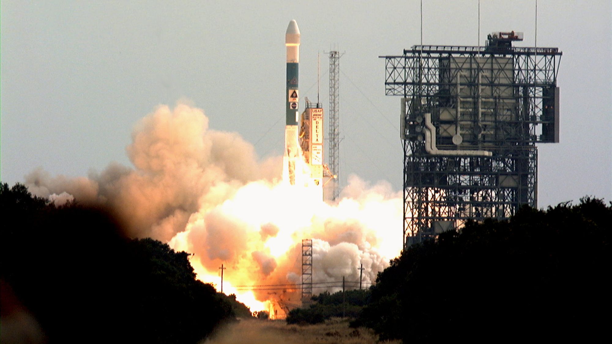
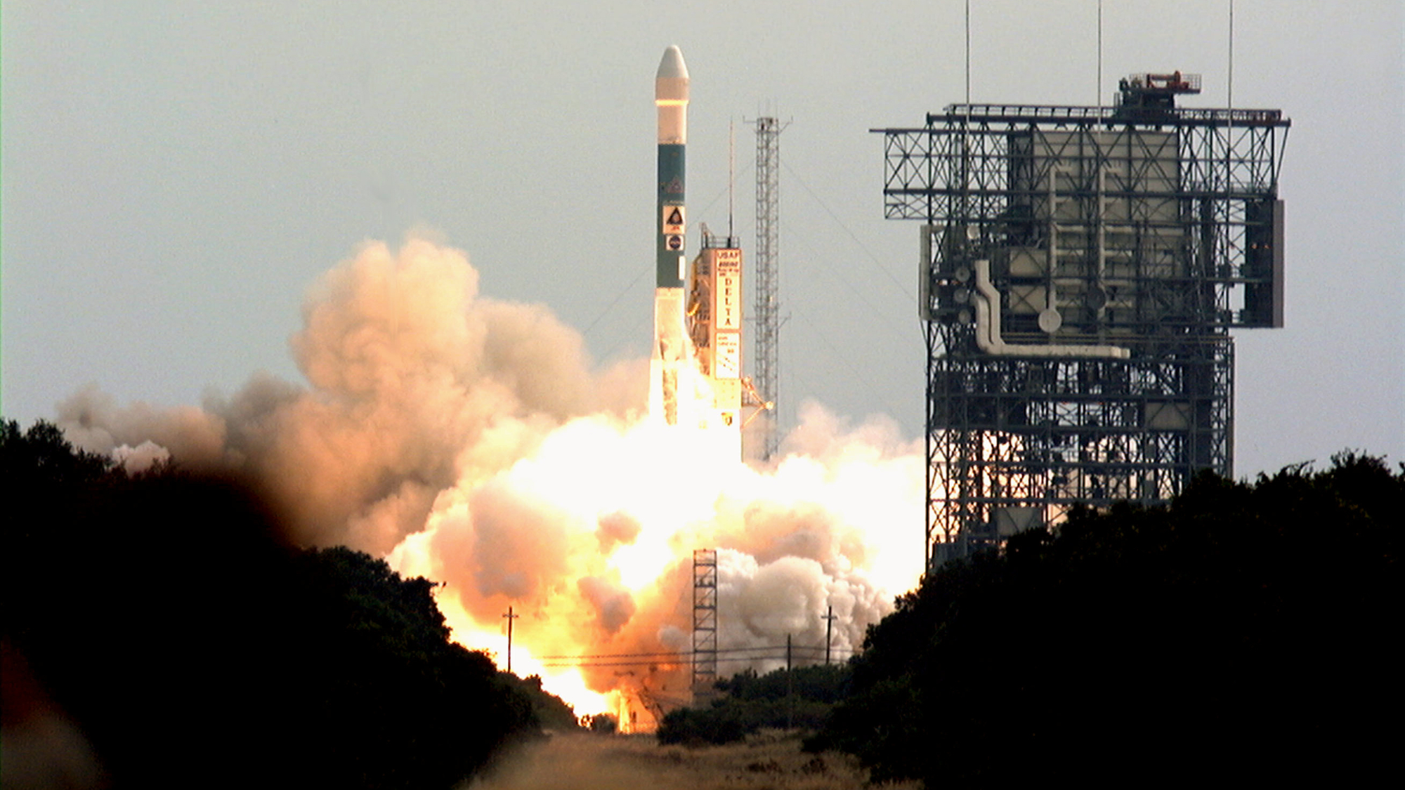
On November 7, 1996, the Mars Global Surveyor launched from Cape Canaveral Air Force Station, marking a pivotal turning point in human efforts to understand our celestial neighbor. For nearly two decades prior to this launch, NASA’s presence at Mars had been limited, with the Viking 1 and 2 missions concluding their primary operations in the late 1970s and early 1980s. The launch of the Mars Global Surveyor (MGS) signaled the end of a long period of dormancy and the beginning of a sustained, multi-decade era of aggressive robotic exploration that continues to shape modern planetary science.
The MGS spacecraft was not merely a standalone scientific instrument; it was designed as a versatile, multi-purpose orbiter. Built by Lockheed Martin and operated by the Jet Propulsion Laboratory (JPL), the orbiter was equipped with a suite of sophisticated instruments including the Mars Orbiter Camera, the Thermal Emission Spectrometer, and the Mars Orbiter Laser Altimeter. These tools allowed researchers to map the Martian surface with unprecedented precision, providing the first comprehensive topographical maps of the planet that would serve as the foundation for almost every subsequent mission to the surface.
A Chronology of Discovery and Operation
The journey of the Mars Global Surveyor was characterized by technical resilience and scientific foresight. Following its launch aboard a Delta II rocket, the spacecraft performed an 11-month cruise through the vacuum of space, arriving at the Red Planet in September 1997. Upon arrival, it executed a complex "aerobraking" maneuver—a process that involved using the thin Martian atmosphere to gradually adjust its orbit from a highly elliptical path to a circular one. This maneuver was a critical milestone in space flight engineering, proving that a spacecraft could safely alter its trajectory by interacting with a planetary atmosphere, thereby conserving vital fuel.
By early 1999, the mission officially began its primary mapping phase. Throughout the early 2000s, MGS acted as a critical communication relay for a new generation of surface explorers. It served as the data conduit for the Mars Pathfinder mission and its small rover, Sojourner, in 1997. As NASA ramped up its efforts, the orbiter played a vital role in the success of the Mars Exploration Rovers, Spirit and Opportunity. By acting as an orbital data hub, MGS enabled these rovers to send massive amounts of scientific data back to Earth, circumventing the limitations of their own direct-to-Earth communication antennas.
However, the mission eventually faced its final hurdle. In November 2006, after ten years of service—a duration far exceeding its original design life of two years—the spacecraft failed to respond to commands. Investigations later revealed that a routine software update, combined with a misdirected solar array maneuver, caused the spacecraft to inadvertently expose its batteries to direct sunlight. This resulted in overheating and a total power failure, ending a decade of continuous service.
Scientific Contributions and Breakthroughs
The scientific impact of the Mars Global Surveyor cannot be overstated. Before MGS, our understanding of Martian geology was largely based on the isolated snapshots provided by the Viking missions. MGS provided a global perspective, allowing scientists to identify features that hinted at a much more dynamic history than previously assumed.
Perhaps the most significant finding from the MGS mission was the discovery of evidence suggesting recent water activity on the surface. High-resolution imagery from the Mars Orbiter Camera revealed deep, V-shaped gullies on the sides of craters and canyons. The distribution and morphology of these features strongly suggested they were carved by the flow of liquid water in the relatively recent geological past. This discovery shifted the paradigm of Mars research from a focus on ancient, dried-up riverbeds to a more nuanced investigation of whether liquid water might still periodically exist on the planet today.
Furthermore, the mission detected widespread deposits of crystalline hematite—a mineral that typically forms in water-rich environments. The identification of this mineral from orbit provided a "treasure map" for future surface missions. Based on the data returned by the MGS Thermal Emission Spectrometer, NASA mission planners were able to pinpoint high-probability landing sites for the Spirit and Opportunity rovers. When the rovers reached these sites, they confirmed the presence of the hematite, effectively validating the orbiter’s remote sensing capabilities and setting a standard for "follow-the-water" exploration strategies.
Implications for Planetary Science and Future Missions
The legacy of the Mars Global Surveyor is reflected in the current state of Martian exploration. By proving the viability of long-duration orbital science and the efficiency of the relay-satellite communication architecture, MGS set the blueprint for the Mars Reconnaissance Orbiter (MRO) and the Mars Atmosphere and Volatile EvolutioN (MAVEN) mission.
The integration of orbital data with surface-level exploration proved to be the most effective methodology for planetary science. Scientists at NASA have noted that the success of the MGS mission fundamentally changed how they approach mission selection. By utilizing an orbiter to "scout" the terrain, NASA reduced the risks associated with landing rovers in hazardous or scientifically uninteresting regions. The mission provided a 3D map of the planet that remains a staple for geologists studying the Martian crust and interior today.
From a strategic standpoint, MGS demonstrated that space exploration could be sustainable over long periods if mission designs allowed for incremental software updates and flexible operational protocols. Although the loss of contact in 2006 was a significant blow, the mission had already accomplished five times its planned lifespan. By the time it went silent, it had provided over 240,000 images of the Martian surface and mapped the planet’s topography with an accuracy that remains impressive even by contemporary standards.
The Institutional Perspective
NASA officials and project scientists have consistently lauded the MGS mission as a triumph of engineering and scientific collaboration. In various post-mission assessments, administrators have emphasized that the mission served as the essential "bridge" that connected the experimental spirit of the 1970s with the sophisticated, automated exploration of the 21st century.
"The Mars Global Surveyor overhauled our understanding of the planet by studying the entire Martian surface, atmosphere, and interior," noted a mission retrospective from NASA’s science division. The data acquired by the orbiter provided the context for understanding Martian climate cycles, including the observation of polar cap dynamics and seasonal atmospheric changes that have helped scientists model the planet’s evolution from a potentially habitable world to the arid, cold desert observed today.
Ultimately, the Mars Global Surveyor stands as a testament to the value of persistence in space exploration. It transformed the Red Planet from a mysterious, distant world into a well-mapped, scientifically understood neighbor. As humanity looks toward future human exploration of Mars, the data harvested by MGS continues to provide the baseline knowledge necessary to navigate the Martian landscape, identify resources, and ensure the safety of future robotic and, eventually, human travelers. The mission serves as a clear reminder that in the realm of space exploration, the most enduring legacies are built through a combination of bold innovation and the patience to watch, listen, and learn over the course of a decade.