The Chill Factor: How Rising Temperatures Are Reshaping America’s Coldest Cities and the Real Estate Market

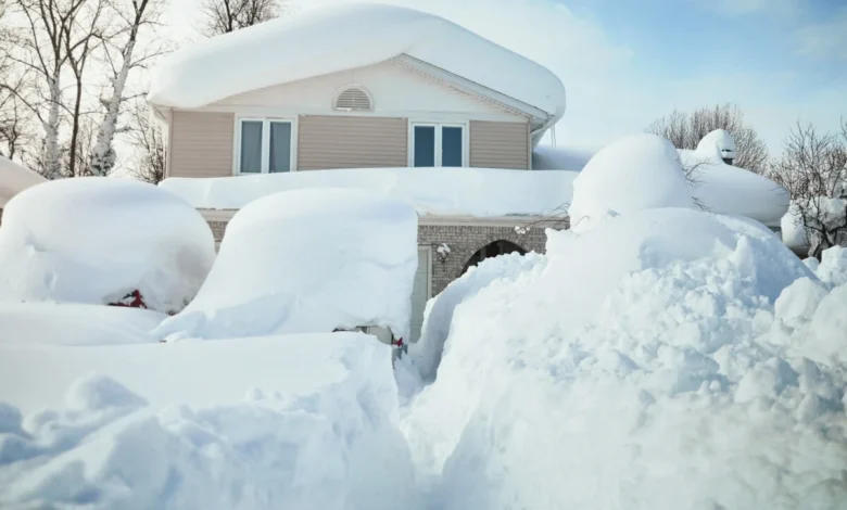
For generations, the transition from the scorching heat of summer to the crisp, bracing air of autumn and the quiet stillness of winter has been a defining rhythm of life in North America. In northern states and high-altitude regions, a classic winter wonderland—complete with reliable snowpacks and biting frost—was once considered a seasonal guarantee. However, a shifting global climate is quietly rewriting these environmental expectations. Meteorological records indicate that the past eleven years have consecutively ranked as the warmest on record worldwide, with the winter season emerging as the fastest-warming period of the year. This acceleration of winter temperatures is particularly pronounced at higher latitudes, presenting complex challenges and considerations for homebuyers, property sellers, and municipal planners navigating an evolving housing market.
Following a historically warm summer nationwide, real estate data and climate metrics compiled by industry analysts have cast a spotlight on the nation’s remaining bastions of cold weather. Examining the coldest cities in the United States offers critical insights not only into geographical temperature extremes, but also into how changing weather patterns intersect with housing affordability, migration trends, and long-term property investments.
The Coldest Urban Centers in the United States
When evaluating municipal climate data across the country, Alaska stands apart as the nation’s coldest state by a wide margin, driven by its high-latitude position. At the top of the list is Fairbanks, Alaska, which holds the distinction of being the coldest city in the United States with a population over 20,000. Fairbanks registers a striking average annual temperature of 28.3°F, trailing nearly 10 degrees behind the second-place city, Anchorage, which averages 37.6°F.
In the contiguous United States, Grand Forks, North Dakota, claims the title of the coldest city in the Lower 48, boasting an average annual temperature of 39.8°F and a winter average of 9.9°F. While smaller settlements like International Falls, Minnesota—historically branded as the "Icebox of the Nation"—register lower temperatures, they fall below population thresholds typically utilized for broader urban climate indices.
To provide a comprehensive overview of these extreme climates, climatological data from the National Oceanic and Atmospheric Administration (NOAA) and the National Centers for Environmental Information (NCEI), based on 1991–2020 climate normals, outlines the ten coldest cities in the country:
- Fairbanks, AK: Average Annual: 28.3°F | Average Winter: -4.1°F | Record Low: -66°F (1934)
- Anchorage, AK: Average Annual: 37.6°F | Average Winter: 19.2°F | Record Low: -34°F (1975)
- Grand Forks, ND: Average Annual: 39.8°F | Average Winter: 9.9°F | Record Low: -43°F (1912/2004)
- Butte, MT: Average Annual: 40.1°F | Average Winter: 20.4°F | Record Low: -52°F (1983)
- Duluth, MN: Average Annual: 40.6°F | Average Winter: 14.6°F | Record Low: -41°F (1885)
- Superior, WI: Average Annual: 41.4°F | Average Winter: 17.4°F | Record Low: -38°F (1962)
- Laramie, WY: Average Annual: 41.4°F | Average Winter: 22.4°F | Record Low: -50°F (1963)
- Williston, ND: Average Annual: 41.4°F | Average Winter: 14.6°F | Record Low: -50°F (1936)
- Juneau, AK: Average Annual: 42.1°F | Average Winter: 29.6°F | Record Low: -22°F (1968/1972)
- Moorhead, MN: Average Annual: 42.1°F | Average Winter: 12.4°F | Record Low: -48°F (1887)
When rankings are adjusted to focus exclusively on average winter temperatures, interior continental hubs such as Fargo, North Dakota (12.8°F), St. Cloud, Minnesota (15.2°F), and Watertown, South Dakota (15.4°F) enter the top tier. Conversely, coastal Alaskan cities like Anchorage and Juneau experience a moderating maritime influence from surrounding oceans, preventing their winter averages from plunging as deeply as their inland counterparts.
Geographical and Meteorological Drivers of Extreme Cold
The geography of cold weather in North America is dictated by a combination of latitude, elevation, and atmospheric circulation. The nation’s coldest urban areas are concentrated in the northern third of the continent, far removed from the thermal equator. These zones are frequently impacted by the Polar Vortex—a large expanse of swirling cold air centered near the polar regions—along with continental air masses sweeping down directly from the Arctic and Canada.
Recent meteorological history underscores the volatility of these regions. Fairbanks, Alaska, experienced its coldest winter on record during the 2025–2026 season, registering an average winter temperature of -13.6°F and eclipsing a record that had stood since the winter of 1965–1966. Meteorological reports noted that temperatures in Fairbanks failed to rise above freezing from Halloween through April Fools’ Day, with 66 consecutive days recording maximum temperatures remaining below zero.

In contrast, cities like Laramie, Wyoming, and Butte, Montana, owe their low temperatures less to direct polar air streams and more to high-altitude geography. Nestled within and around the Rocky Mountains, these high-elevation communities experience distinct microclimates. While the surrounding mountain ranges can act as physical barriers against the most severe sweeping cold fronts or incoming heat waves, high elevation naturally reduces ambient air temperatures, resulting in extended periods where daily lows fall below the freezing mark—Butte, for instance, records nearly 200 days a year with sub-freezing minimums.
For extreme habitation, Utqiagvik (formerly Point Barrow) on Alaska’s northern coast stands as the coldest permanently inhabited place in the United States. With an average annual temperature of just 12.7°F and winter averages hovering around -11°F, the town experiences over 60 days of continuous darkness during the polar night. Despite these formidable conditions, an indigenous population of the Iñupiat people has maintained a continuous presence in the area for well over a millennium, relying today on accessible transit strictly limited to aviation and maritime shipping.
The Intersection of Climate and the Real Estate Market
For prospective homebuyers and real estate investors, local climate has evolved from a matter of lifestyle preference into a critical risk-assessment metric. Housing market dynamics in northern latitudes differ substantially from those in the Sun Belt. Property markets in the Upper Midwest and northern plains traditionally experience highly seasonal transaction volumes. Winter months often see subdued real estate activity as freezing temperatures and heavy snowfall deter active house hunting, followed by a sharp rebound in inventory and buyer demand during late spring and summer.
Furthermore, economic factors have intersected with climate considerations. Many colder cities, particularly across the industrial Rust Belt and upper Midwest, have experienced decades of shifting demographics and localized economic restructuring. This historical trend has kept home prices in these regions relatively affordable compared to overheated coastal and southern markets. As national housing affordability has tightened to historic lows, some of these historically overlooked, colder markets have seen renewed interest from buyers seeking attainable housing.
At the same time, the physical construction of homes in cold climates requires specialized engineering. Properties in northern tiers are structurally adapted to withstand extreme weather events, featuring advanced insulation, high-efficiency heating systems, reinforced roofing designed to manage heavy snow loads, and multi-paned windows to prevent thermal loss. Consequently, buyers must factor ongoing maintenance costs and winter energy consumption into their long-term cost of living.
To address growing consumer demand for environmental transparency, real estate platforms have increasingly integrated climate risk data into property listings. Partnerships between real estate brokerages, meteorological firms, and climate analytics groups—such as First Street, The Weather Company, and Shadowmap—now allow prospective buyers to review property-specific indicators. Users can evaluate historical temperature ranges, daily sunshine scores, and potential risks associated with severe weather, flooding, and shifting seasonal norms directly alongside standard listing prices and square footage.
Long-Term Trends and Warming Winters
While the nation’s coldest cities continue to post impressive winter lows, the broader trajectory of the global climate points toward undeniable warming. Scientific assessments from federal agencies, including NASA and NOAA, confirm that global temperatures are rising at an unprecedented rate, with the Arctic and sub-Arctic regions warming at roughly four times the global average.
This rapid regional warming is altering the baseline of what constitutes a "normal" winter. Comparative analysis of 30-year climate normals reveals that a significant majority of the country’s coldest cities have registered rising average temperatures over recent decades. Record-low winter temperatures are becoming statistically less frequent, while high-temperature anomalies are growing more common. Current historical findings indicate that average winter temperatures across the United States are roughly 7°F warmer than they were in 1970.
Climatologists suggest that the legendary, bitterly cold winters that defined the 20th century in the northern United States are increasingly unlikely to repeat in their historical severity. While cold snaps will continue to occur, they operate against a baseline of warmer atmospheric conditions. For northern municipalities, urban planners, and the real estate sector, this gradual warming trend necessitates continuous adaptation in infrastructure design, disaster preparedness, and long-term economic planning to address a shifting environmental reality.